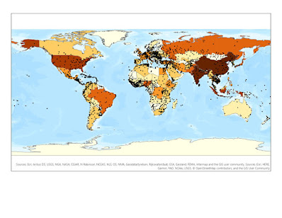
Cartography: Location of the University of West Florida

Displayed is a png format of the location of the University of West Florida. This map represents cartographic principles of symbolizing the cities near the campus in Escambia County. The two major interstates are depicted in red and major rivers near the campus in blue. The University is located in the southeastern region of Escambia County, Florida. The county itself is located in the most northwestern region of the state of Florida. The data was provided by the FGDL, FDOT, FDEP, and other census organizations.
