Arc GIS Pro Introduction: A Map of the World's Cities
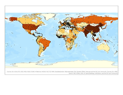
This is a JPEG Format of a map displaying the world's countries and cities across the world. This is an introductory map to explore the different tools of Arc GIS Pro and how to export a map containing vector data of city locations. The cities are symbolized with black dots across the world.


Excited to complete my first Lab in my Masters GIS Program!
ReplyDelete